
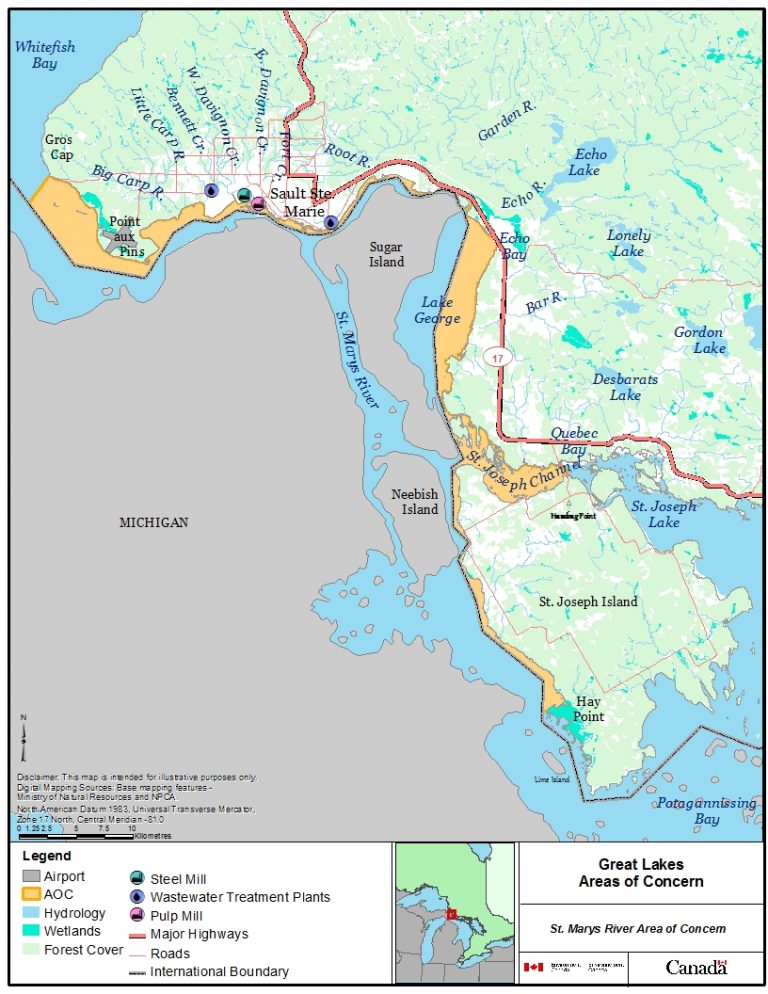
Location
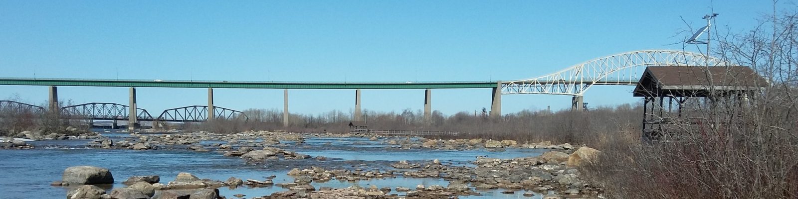
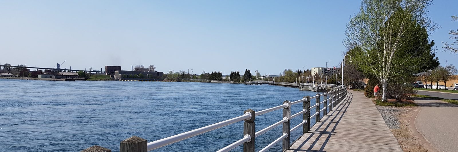
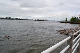
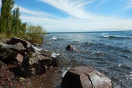
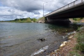
The St. Marys River is a 125 kilometre stretch of water that separates the twin cities of Sault Ste. Marie, Ontario and Sault Ste. Marie, Michigan. The river originates in Whitefish Bay on Lake Superior between Point Iroquois, Michigan and Gros Cap, Ontario and divides into two channels around St. Joseph Island to the east. The North Channel, or St. Joseph Channel, extends to Bruce Mines; the southern or Neebish Channel is the up bound shipping channel and extends to the De Tour Passage where it emerges into Lake Huron (see map below).
Features
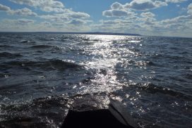
- Serves as an important travel corridor between Lake Superior and Lake Huron
- Designated as a Canadian Heritage River by the Canadian Heritage Rivers System (CHRS)
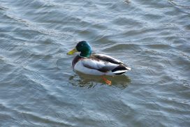
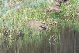
- Supports a diverse community of fish and wildlife
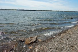
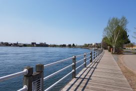
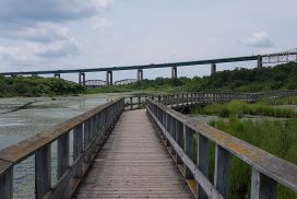
- Popular area for recreational activities such as fishing, hiking, picnicking, sailing, power boating, skating and nature appreciation
St. Marys River Area of Concern
Learn more about why the St. Marys River is an Area of Concern (AOC)


Previous
Next