
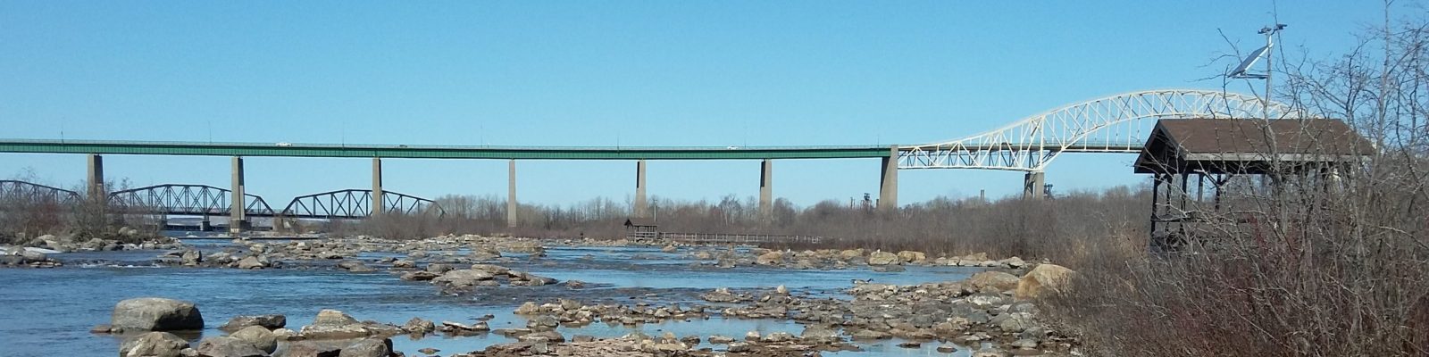
A new online interactive mapping tool for the St. Marys River Area of Concern is now available to explore! The online map highlights projects and progress made since the St. Marys River was first designated as an Area of Concern under the Great Lakes Water Quality Agreement.
Choose how to view the map
You can choose to view the map in two different ways!
(1) Journal format – Scroll through the story, detailing progress made within the AOC, from start to finish.
(2) Shortlist format – Choose specific themes and areas of interest to you.