
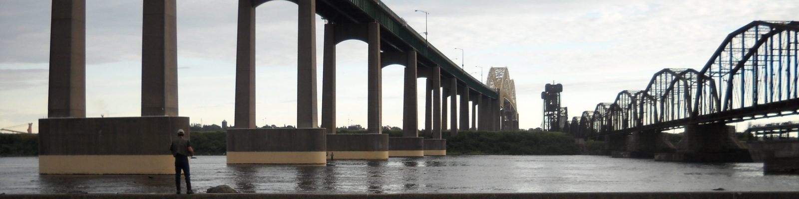
The Stage 1 RAP noted that dredge spoils from the navigational channel have always been approved for open water disposal, but listed sites outside the navigational channel that had sediment contamination. They included the Algoma Slip and sediments downstream of it along the Ontario shore, in Little Lake George, Lake George, Lake Nicolet, and Munuscong Lake, and at the Cannelton Industries site on the Michigan shoreline.
Guidance for Delisting the Restrictions on Dredging Activities
The Michigan Guidance for Delisting states this BUI will be considered restored when:
“During the most recent routine dredging in the U.S. Army Corps of Engineers (COE) designated navigational channel, use of a confined disposal facility or TSCA-level landfill for dredge spoils was not required due to chemical contamination.”
The state of Michigan regulates the disposal of dredge spoils in Part 115 of the Natural Resources and Environmental Protection Act (Public Act 451). Part 115 states “If a material will be applied to or placed on the land, or will be used to produce products that are applied to or placed on the land, the material must qualify as an inert material or beneficial use by-product.” “Inert material” is carefully defined in this law. Given the industrial history of the St. Mary’s River, it is reasonable to expect that any contaminated sediments could be the result of human activity. Under section ii of the definition of “inert material” in Part 115, then, it should be assessed whether the dredged sediments exceed the background concentration as defined in Part 201 or whether they exceed Part 201’s “generic residential soil direct contact cleanup criteria.”
The background concentration can be defined several different ways. The statewide default background concentrations are listed under Rule 299.46 (Table 2, pages 58-81). A few metals (barium, chromium, iron, manganese, and nickel) were found above the statewide default background concentration, while pesticides and PCBs were found below the default background.
Another way background concentration can be defined is through the regional background levels defined by the 2005 Michigan Background Soil Survey (MBSS). According to the MBSS, the St. Mary’s River is located in the Michigan glacial lobe. The most recent sediment testing showed that the St. Mary’s River navigational channel sediments are primarily sand. The background soil concentrations for sandy soils are listed on page 7 (table 3) of the MBSS. Some of the samples from the most recent St. Mary’s River navigational channel dredging are above the background soil concentration for the metals barium, chromium, iron, and nickel.
The Part 201 generic residential soil direct contact clean-up criteria may also be used to determine the suitability of dredge spoils for unrestricted disposal. All instances of barium, chromium, iron, and nickel in dredge spoils from the St. Mary’s River navigational channel fall well below these criteria.
Reports regarding the analysis of the dredge spoils from the most recent navigational channel dredging are below.
St. Mary’s River Federal Navigation Channel Sediment Sampling and Analysis Results (September 2015)